Top

Summit hike to Mutenock

Kiens/Chienes
Add to favourites
Difficulty
Difficult
Duration
2:51
in hours
Distance
6
in km
Status
open
Categories
  • Mountain tour
Tags
  • Linear route
Suggested period
Jan
Feb
Mar
Apr
May
Jun
Jul
Aug
Sep
Oct
Nov
Dec
Panoramic summit hike from Gelenke car park via Pichlerbergalm and the Pfunderer Höhenweg/Alta Via di Fundres to Mutenock (2,484 m).

The panoramic summit hike to Mutenock (2,484 m) starts at the Gelenke car park above Hofern/Corti. The trail initially climbs through open mountain forests. As you gain altitude, the landscape opens up, offering beautiful views of the surrounding mountains.

Passing Pichlerbergalm, the route continues across alpine pastures and mountain meadows to the Pfunderer Höhenweg/Alta Via di Fundres. Important: Pichlerbergalm is not staffed and there are no refreshment stops along the route. Make sure to bring plenty of water and enough food.

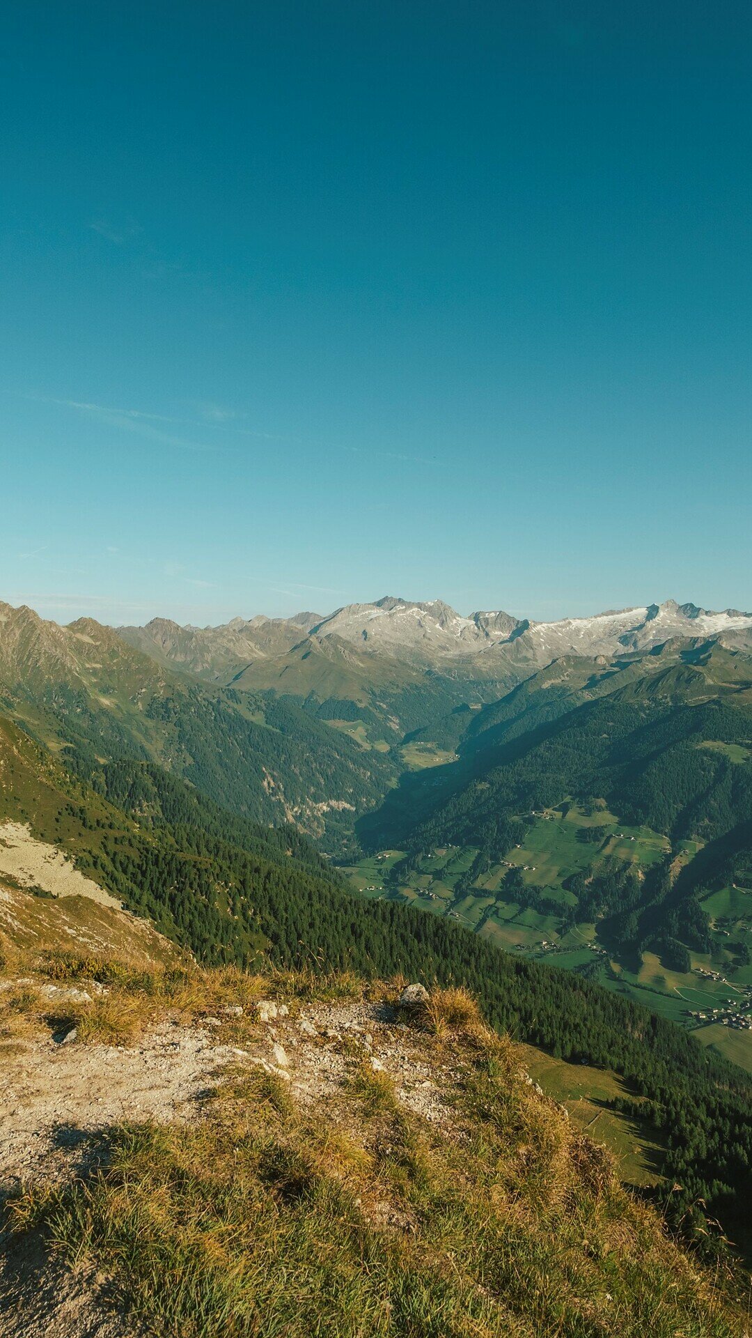
From the Pfunderer Höhenweg/Alta Via di Fundres, the trail continues through alpine terrain to the summit of Mutenock. At the top, a magnificent panorama stretches from the Zillertal Alps/Alpi della Zillertal in the north to the Dolomites/Dolomiti in the south – one of the highlights of the tour.

The descent follows the same route as the ascent, passing Pichlerbergalm and returning to the Gelenke car park.

The tour requires good physical fitness, sure-footedness and suitable mountain equipment. Current weather conditions should be checked before setting off.
Gallery
Categories
  • Mountain tour
Tags
  • Linear route
Route data
Difficult
Distance
6,0 km
Duration
2 h 51 min
Ascent
807 m
Decent
22 m
Physical condition
Scenary
Highest point
2.382 m
Lowest point
1.575 m
Suggestions

Those wishing to extend the tour can continue from Mutenock along the Pfunderer Höhenweg/Alta Via di Fundres to Putzenhöhe. From there, the route descends via Grünbachsee/Lago Verde and Moarhofalm/Malga Moarhof back to the Gelenke car park. This option is considerably longer and therefore requires more stamina and additional time.

You might be interested in
Discover related tours
Lake di Plata | © Kiens
Intermediate
Add to favourites
Alpine Circular Hike on the Pfunderer Höhenweg in Platten.
Distance 10,8 km
Duration 4 h 45 min
Ascent 878 m
Decent 836 m
Status
open
Rodenecker Alm | © Herbmedia, Kiens
Intermediate
Add to favourites
Kiens/Chienes
Hike from Ellen to the Rodenecker-Lüsner Alm
Distance 11,2 km
Duration 4 h 30 min
Ascent 720 m
Decent 720 m
Status
open
Grünbachsee | © Kiens
Intermediate
Add to favourites
Kiens/Chienes
Hiking to Putzenhöhe/Cima Pozzo
Distance 6,3 km
Duration 3 h 00 min
Ascent 862 m
Decent 110 m
Status
open