The snowshoe hike to Plattner Spitze/Cima di Plata (2,439 m) is a varied winter tour above Pfalzen/Falzes. The route leads through snow-covered mountain forests, across wide alpine pastures and past small mountain lakes to a scenic summit. The peaceful winter landscape and magnificent panoramic views of South Tyrol's surrounding mountains make this hike particularly special.
The starting point is the mountain hamlet of Platten/Plata, above Pfalzen/Falzes, at approximately 1,600 m. Parking is available near Tierstallerhof farm. From here, follow trail no. 67 along a wide forest road that initially leads through the snow-covered woodland into the Plattner Valley. The path alternates between flat and gently ascending sections, providing a pleasant introduction to the winter mountain landscape.
After approximately one hour, you reach Plattner Alm/Malga di Plata at around 1,830 m. Here the landscape opens up, offering beautiful views of the surrounding mountain slopes. From the alpine pasture, the route continues uphill across snow-covered meadows. As you gain altitude, the terrain becomes more open and the views of the surrounding mountains increasingly impressive.
Following trail no. 67, continue climbing towards the small Plattner Lakes/Laghi di Plata, which may be hidden beneath a blanket of snow in winter. The snow-covered slopes and the silence of the high alpine landscape give this section a special charm.
Above the lakes, the route continues towards a saddle on the ridge east of the summit. From here, follow the ridge westwards to the summit cross of Plattner Spitze/Cima di Plata. Once you reach the highest point, magnificent panoramic views of the surrounding mountain ranges and South Tyrol's winter landscape await.
The combination of peaceful woodland sections, open alpine pastures, snow-covered mountain lakes and a panoramic summit makes this snowshoe hike a special experience. While the lower part of the tour leads through sheltered woodland, the upper section opens out into a vast alpine landscape with breathtaking views.
The descent follows the same route as the ascent, passing the Plattner Lakes/Laghi di Plata and Plattner Alm/Malga di Plata before returning to the starting point in Platten/Plata.
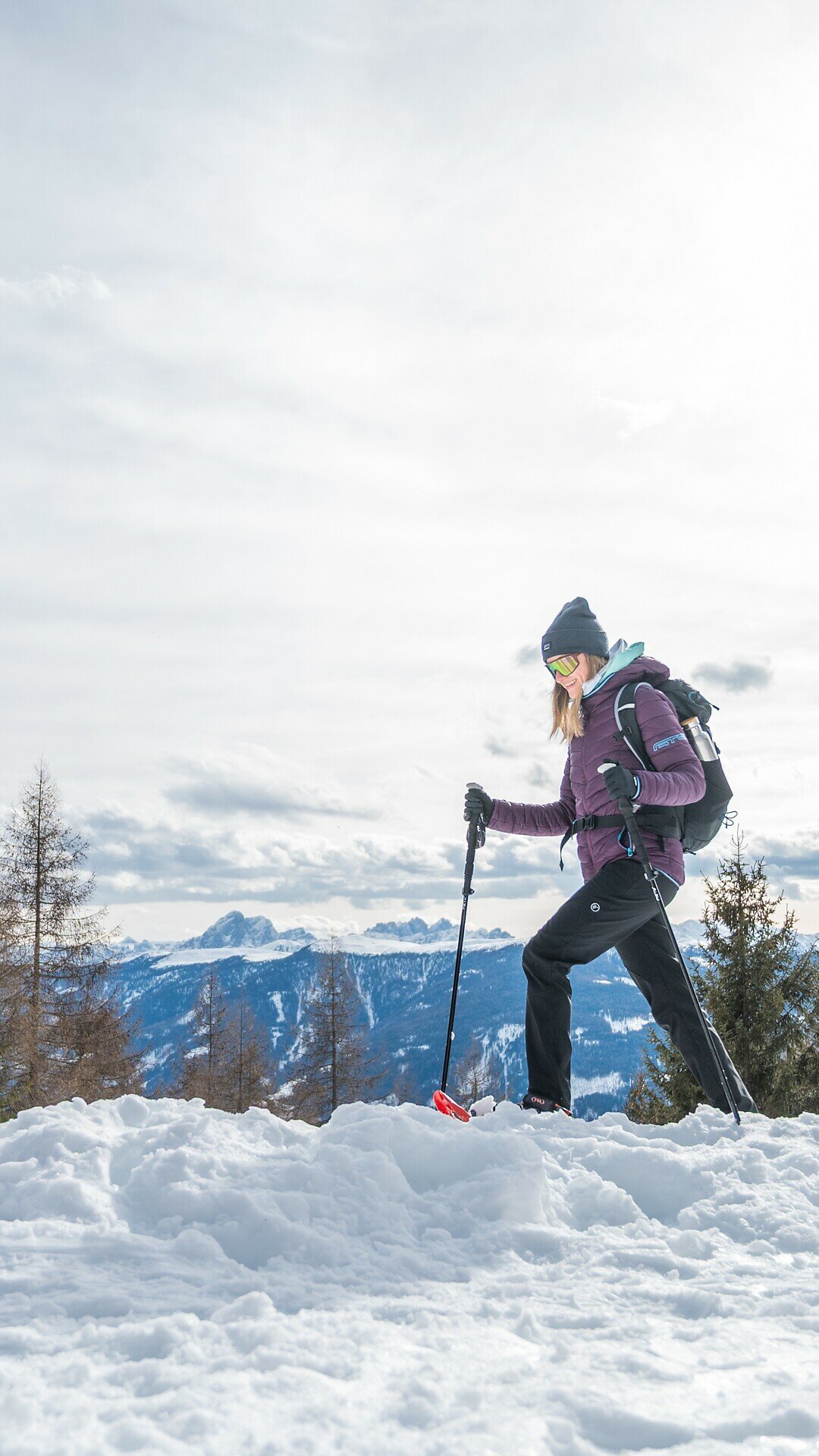
The winter landscape around Plattner Alm/Malga di Plata and the small Plattner Lakes/Laghi di Plata is particularly beautiful. The summit of Plattner Spitze/Cima di Plata offers magnificent panoramic views of the surrounding mountains. The open slopes and summit ridge should only be attempted when snow and avalanche conditions are favourable.
The starting point of the snowshoe hike is Platten/Plata, above Pfalzen/Falzes. From here, follow trail no. 67 along a wide forest road that leads through the snow-covered woodland into the Plattner Valley, alternating between flat and gently ascending sections. After approximately one hour, you reach Plattner Alm/Malga di Plata at around 1,830 m.
From the alpine pasture, continue following trail no. 67 across open alpine meadows, climbing mostly at a moderate gradient towards the small Plattner Lakes/Laghi di Plata. The route then continues uphill to a saddle on the ridge east of the summit. From here, follow the ridge westwards and, after just a few minutes, reach the summit cross of Plattner Spitze/Cima di Plata at approximately 2,435 m. The summit offers magnificent panoramic views of the surrounding mountains.
The descent follows the same route as the ascent, passing the Plattner Lakes/Laghi di Plata and Plattner Alm/Malga di Plata before returning to the starting point in Platten/Plata.
Important: The upper section of the hike leads through unsecured alpine terrain. The open slopes and summit ridge, in particular, require careful assessment of current snow, weather and avalanche conditions. Trail no. 67 refers to the summer hiking route; the actual snowshoe route may vary depending on snow conditions.
Platten is only accessible by car. Alternatively, you can take the local bus 421 or 422 from Brunico to Pfalzen Oberdorf and walk to Platten (approx. 1½ hours).
Coming from Bruneck/Brunico, follow the Puster Valley Road to Pfalzen/Falzes and then follow the signs to Platten/Plata. Passing several farms and small hamlets, the road continues to the parking area at Tierstaller Farm, the starting point.
From the Brixen/Bressanone/Pustertal/Val Pusteria motorway exit, follow the Puster Valley State Road to Kiens and continue to Pfalzen/Falzes. From there, follow the signs to Platten/Plata.
Parking is available at the starting point of the hike.
For this snowshoe hike, snowshoes, warm waterproof hiking boots and trekking poles with snow baskets are essential. Wear weatherproof winter clothing and bring gloves, a hat, sunglasses and sunscreen. Make sure to carry enough food, a warm drink and a map or GPS device. Complete avalanche rescue equipment, including a transceiver, probe and shovel, together with the knowledge to use it, is essential. Always check the latest weather, snow and avalanche conditions before setting off.